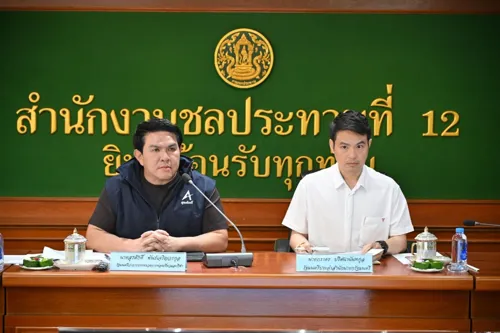
A sub-committee for the Chao Phraya river basin, set up on 14 August 2026, met to prepare six flood and drought measures for 8 central provinces and Bangkok. Key points: risk maps and early-warning systems using GISTDA satellite imagery; provincial command centres; hospital preparedness; and a dry-season rice-planting plan matched to water supply, so farm water use does not squeeze other users in 2027. Relief payments will be sped up, with satellite images used to verify damage. If your business is in these provinces, especially farming, riverside or logistics, check your flood and water exposure. The article sets no deadlines or new payment rules.


 Want to buy or sell a business?